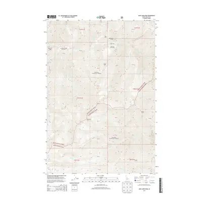
2013 Map of Dave Lewis Peak
USGS Topo · Published 2013About this map
Dave Lewis Peak rises as a central landmark within the high-elevation wilderness where the Payette National Forest and Salmon National Forest meet. This 2013 topographic survey captures a landscape defined by deep drainages and remote aviation access points. The presence of the Soldier Bar USFS Airport and Taylor Ranch Landing Area Airport underscores the isolation of this terrain, where small airstrips serve as vital links to the outside world. The drainage system is anchored by Big Creek, which carves through the Big Creek Gorge and receives numerous tributaries including Soldier Cr, Rush Cr, and Pioneer Cr. Evidence of backcountry monitoring is visible at the Short Creek Lookout in the southern portion of the quadrangle. From the heights of Big Creek Ridge to the depths of Sammy Gulch, the map details a region where natural boundaries and USFS management shape the human footprint.
Find a feature on this map
34 named features on this map. Tap any name to fly to it.
Don’t see what you’re looking for? This feature index may not catch every label — zoom into the map to look around manually.
Map Details
Editions of this 2013 Dave Lewis Peak Map
This is the sole edition of this map. No revisions or reprints were ever made.
Other maps of this area

1930 · Casto
USGS Topo · 1:125,000

1956 · Elk City
USGS Topo · 1:250,000

1957 · Challis
USGS Topo · 1:250,000

1960 · Elk City
USGS Topo · 1:250,000

1960 · Challis
USGS Topo · 1:250,000

1962 · Mormon Mtn
USGS Topo · 1:24,000

1962 · Vinegar Hill
USGS Topo · 1:24,000

1962 · Bear Creek Point
USGS Topo · 1:24,000

1962 · Puddin Mtn
USGS Topo · 1:24,000

1962 · Papoose Peak
USGS Topo · 1:24,000