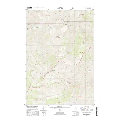
2017 Map of Dave Lewis Peak
USGS Topo · Published 2017About this map
Dave Lewis Peak stands at the center of this remote mountain landscape, marking the high ground between the Payette National Forest and Salmon National Forest. The map documents a rugged river-and-ridge system defined by the path of Big Creek, which carves through the Big Creek Gorge and past the historic Soldier Bar area. This terrain is accessible primarily by air and trail, as evidenced by the Soldier Bar USFS Airport and the Taylor Ranch Landing Area located near the confluence of Rush Creek.
Find a feature on this map
51 named features on this map. Tap any name to fly to it.
Don’t see what you’re looking for? This feature index may not catch every label — zoom into the map to look around manually.
Map Details
Editions of this 2017 Dave Lewis Peak Map
This is the sole edition of this map. No revisions or reprints were ever made.
Other maps of this area

1930 · Casto
USGS Topo · 1:125,000

1956 · Elk City
USGS Topo · 1:250,000

1957 · Challis
USGS Topo · 1:250,000

1960 · Elk City
USGS Topo · 1:250,000

1960 · Challis
USGS Topo · 1:250,000

1962 · Mormon Mtn
USGS Topo · 1:24,000

1962 · Vinegar Hill
USGS Topo · 1:24,000

1962 · Bear Creek Point
USGS Topo · 1:24,000

1962 · Puddin Mtn
USGS Topo · 1:24,000

1962 · Papoose Peak
USGS Topo · 1:24,000