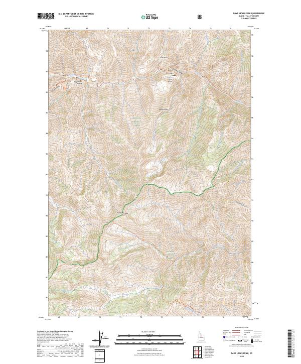
2024 Map of Dave Lewis Peak
USGS Topo · Published 2024About this map
Dave Lewis Peak rises as a central landmark within this protected wilderness area, which bridges the Payette National Forest and the Salmon National Forest. The landscape is dominated by the dramatic Big Creek Gorge and the elevated Big Creek Ridge, defining a terrain shaped by steep drainages like Sammy Gulch and Survey Creek. Human presence is concentrated near Soldier Bar, where the Soldier Bar USFS Airport and the Taylor Ranch Landing Area provide critical backcountry access points. These small clearings along the water represent rare level ground in a territory otherwise defined by vertical relief and an extensive network of primitive paths, including the Big Creek Trl and Bernard Trl. This map serves as a record of the remote intersections of the Frank Church-River of No Return Wilderness, showing how geography dictates movement through this roadless part of Valley County.
Find a feature on this map
51 named features on this map. Tap any name to fly to it.
Don’t see what you’re looking for? This feature index may not catch every label — zoom into the map to look around manually.
Map Details
Editions of this 2024 Dave Lewis Peak Map
This is the sole edition of this map. No revisions or reprints were ever made.
Other maps of this area

1930 · Casto
USGS Topo · 1:125,000

1956 · Elk City
USGS Topo · 1:250,000

1957 · Challis
USGS Topo · 1:250,000

1960 · Elk City
USGS Topo · 1:250,000

1960 · Challis
USGS Topo · 1:250,000

1962 · Mormon Mtn
USGS Topo · 1:24,000

1962 · Vinegar Hill
USGS Topo · 1:24,000

1962 · Bear Creek Point
USGS Topo · 1:24,000

1962 · Puddin Mtn
USGS Topo · 1:24,000

1962 · Papoose Peak
USGS Topo · 1:24,000