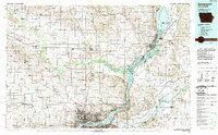
1984 Map of Davenport
USGS Topo · Published 1989About this map
The Mississippi River and the Wapsipinicon River dominate this mid-1980s landscape at the border of Iowa and Illinois. The urban centers of Clinton and Davenport anchor the eastern and southern edges of the map, while the interior is defined by a dense grid of rural townships and small settlements like De Witt, Lost Nation, and Oxford Junction. Large-scale conservation efforts are evident in the Upper Mississippi River Wild Life and Fish Refuge and the Goose Lake State Wildlife Management Area. Transport infrastructure reveals the region's connectivity, featuring the historic Lincoln Highway and the Chicago and North Western rail lines. Local genealogists can locate specific landmarks such as St Josephs Ch and Elmwood Cem, providing concrete points of reference for families rooted in Clinton and Scott counties.
Find a feature on this map
122 named features on this map. Tap any name to fly to it.
Don’t see what you’re looking for? This feature index may not catch every label — zoom into the map to look around manually.
Map Details
Editions of this 1984 Davenport Map
2 editions found

Other maps of this area

1889 · Tipton
USGS Topo · 1:62,500

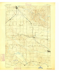
1890 · Durant
USGS Topo · 1:62,500

1890 · Tipton
USGS Topo · 1:62,500

1891 · DeWitt
USGS Topo · 1:62,500

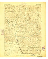
1891 · Davenport
USGS Topo · 1:62,500
1891 · Monticello
USGS Topo · 1:62,500
1891 · Maquoketa
USGS Topo · 1:62,500

1891 · Wilton Junction
USGS Topo · 1:62,500
1891 · Baldwin
USGS Topo · 1:62,500

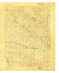
1891 · Clinton
USGS Topo · 1:62,500