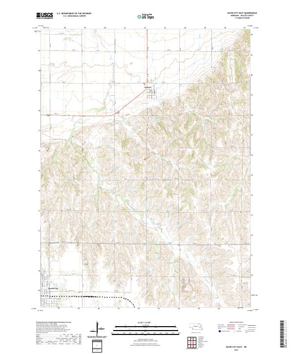
2021 Map of David City East
USGS Topo · Published 2021About this map
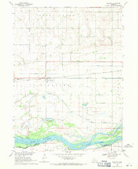
David City anchors the southwestern edge of this Butler County landscape, showing the organized grid of the town’s northern residential and commercial streets. The terrain is defined by the winding course of Bone Cr, which carves through the central and southern sections of the township. In the north, the small settlement of Octavia sits along a diagonal corridor, providing a focal point for the surrounding agricultural sections.
Find a feature on this map
32 named features on this map. Tap any name to fly to it.
Don’t see what you’re looking for? This feature index may not catch every label — zoom into the map to look around manually.
Map Details
Editions of this 2021 David City East Map
This is the sole edition of this map. No revisions or reprints were ever made.
Other maps of this area

1899 · Wahoo
USGS Topo · 1:125,000

1899 · David City
USGS Topo · 1:125,000

1955 · Fremont
USGS Topo · 1:250,000

1957 · Fremont
USGS Topo · 1:250,000

1958 · Fremont
USGS Topo · 1:250,000
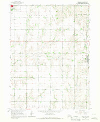
1965 · Brainard
USGS Topo · 1:24,000
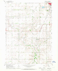
1965 · Garrison
USGS Topo · 1:24,000

1968 · Bruno
USGS Topo · 1:24,000
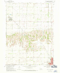
1968 · David City West
USGS Topo · 1:24,000
1968 · Richland
USGS Topo · 1:24,000