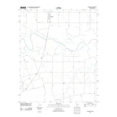
2012 Map of Davidson
USGS Topo · Published 2012About this map
Davidson and the surrounding agricultural lands of Tillman County sit at a geographic crossroads where the Oklahoma plains meet the winding course of the Red River. This early 21st-century landscape is defined by the grid of rural roads and the alluvial terrain carved by numerous tributaries, including Bottle Cr, Dugan Cr, and Adams Cr. The town of Davidson itself shows a traditional street grid with Main St, Elm St, and Vine St forming its core, while the settlement of Elliott appears to the south near the Texas border. The map illustrates the complex hydrography of the river valley, where the state boundary follows the shifting center of the river channel, creating a distinct boundary between the Oklahoma township and the Texas rangelands to the south.
Find a feature on this map
34 named features on this map. Tap any name to fly to it.
Don’t see what you’re looking for? This feature index may not catch every label — zoom into the map to look around manually.
Map Details
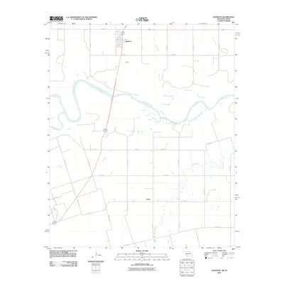
Editions of this 2012 Davidson Map
2 editions found
Other maps of this area

1916 · Electra
USGS Topo · 1:24,000

1918 · Electra
USGS Topo · 1:31,680

1955 · Lawton
USGS Topo · 1:250,000

1958 · Davidson
USGS Topo · 1:62,500

1958 · Frederick
USGS Topo · 1:62,500

1958 · Electra
USGS Topo · 1:62,500
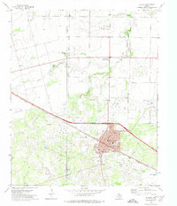
1972 · Electra
USGS Topo · 1:24,000

1974 · Hackberry Flat
USGS Topo · 1:24,000

1975 · Frederick SW
USGS Topo · 1:24,000

1975 · Frederick SE
USGS Topo · 1:24,000