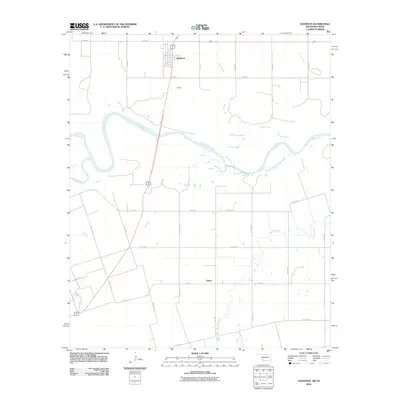
2012 Map of Davidson
USGS Topo · Published 2012About this map
Davidson and the settlement of Elliott occupy this Tillman County landscape along the winding border between Oklahoma and Texas. The Red River serves as the dominant geographic divider, joined by the Pease River flowing in from the southwest and several smaller tributaries like Bottle Creek and Suttle Creek that drain the northern plains. This 2012 survey illustrates the grid-based rural road network typical of the region, featuring numerous named routes such as E 1910 Rd and N 2170 Rd. The terrain is shaped by the active hydrology of the river system, which creates complex shoreline patterns and sandbars along the state line. South of the main river channel, the map transitions into Texas territory, where local designations like FM 1763 and FM 370 E connect the farming community across the Red River valley.
Find a feature on this map
27 named features on this map. Tap any name to fly to it.
Don’t see what you’re looking for? This feature index may not catch every label — zoom into the map to look around manually.
Map Details
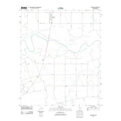
Editions of this 2012 Davidson Map
2 editions found
Other maps of this area

1916 · Electra
USGS Topo · 1:24,000

1918 · Electra
USGS Topo · 1:31,680

1955 · Lawton
USGS Topo · 1:250,000

1958 · Davidson
USGS Topo · 1:62,500

1958 · Frederick
USGS Topo · 1:62,500

1958 · Electra
USGS Topo · 1:62,500
1972 · Electra
USGS Topo · 1:24,000

1974 · Hackberry Flat
USGS Topo · 1:24,000

1975 · Frederick SW
USGS Topo · 1:24,000

1975 · Frederick SE
USGS Topo · 1:24,000