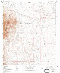
1955 Map of Davies Tank
USGS Topo · Published 1994About this map
The Organ Mountains dominate the western edge of this mid-century survey, casting long shadows over a landscape defined by desert hydrology and military expansion. This territory, spanning the border of Doña Ana and Otero counties, is primarily occupied by the White Sands Missile Range and the Fort Bliss Military Reservation. The desert floor is marked by a network of essential water sources such as Davies Tank, Globe Well, and Goodin Well, which supported ranching interests before the land was consolidated for military use.
Find a feature on this map
18 named features on this map. Tap any name to fly to it.
Don’t see what you’re looking for? This feature index may not catch every label — zoom into the map to look around manually.
Map Details
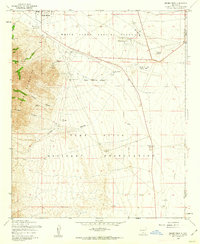
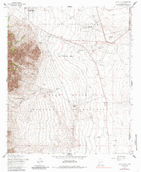
Editions of this 1955 Davies Tank Map
3 editions found
Other maps of this area

1891 · Las Cruces
USGS Topo · 1:125,000

1893 · Las Cruces
USGS Topo · 1:125,000

1940 · Newman
USGS Topo · 1:62,500

1941 · Organ Peak
USGS Topo · 1:62,500

1943 · La Mesa
USGS Topo · 1:62,500

1943 · Parker Lake
USGS Topo · 1:62,500

1943 · Newman
USGS Topo · 1:62,500

1943 · Organ Peak
USGS Topo · 1:62,500

1948 · Davies Tank
USGS Topo · 1:24,000

1948 · Newman NW
USGS Topo · 1:24,000