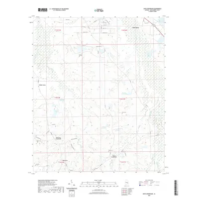
2020 Map of Davis Crossroads
USGS Topo · Published 2020About this map
Davis Crossroads serves as a central point in this part of Montgomery County, where the landscape is defined by a dense network of creeks and small impoundments. The terrain is drained by several branches including Baskins Mill Cr, Catoma Cr, and Waller Cr, which feed numerous named reservoirs such as Davis Lake Number Two and Hill Lake Number Two. This modern topography shows a rural environment transitioning toward residential development near Pike Road, yet it remains anchored by historical family names and traditional land divisions.
Find a feature on this map
60 named features on this map. Tap any name to fly to it.
Don’t see what you’re looking for? This feature index may not catch every label — zoom into the map to look around manually.
Map Details
Editions of this 2020 Davis Crossroads Map
This is the sole edition of this map. No revisions or reprints were ever made.
Other maps of this area

1927 · Montgomery
USGS Topo · 1:48,000

1930 · Montgomery
USGS Topo · 1:62,500

1953 · Montgomery
USGS Topo · 1:250,000

1956 · Montgomery
USGS Topo · 1:250,000

1957 · Montgomery
USGS Topo · 1:250,000

1957 · Letohatchee
USGS Topo · 1:62,500

1958 · Montgomery
USGS Topo · 1:62,500

1958 · Montgomery South
USGS Topo · 1:24,000

1958 · Mount Meigs
USGS Topo · 1:62,500

1971 · Davis Crossroads
USGS Topo · 1:24,000