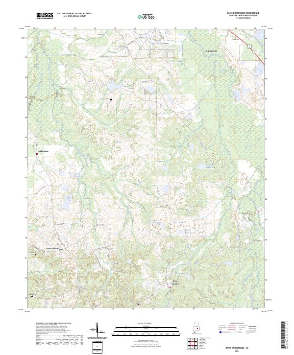
2024 Map of Davis Crossroads
USGS Topo · Published 2024About this map
Davis Crossroads and Robinson Crossroads serve as central nodes in this rural Montgomery County landscape, where the transition from agricultural fields to residential development is underway. The map highlights a series of small, often family-named water bodies including Vongol Lake Number Two, Arrington Lake Number 1, and W C Gibson Lake, which indicate the modification of local drainages like Ramer Creek and Sandy Creek.
Find a feature on this map
58 named features on this map. Tap any name to fly to it.
Don’t see what you’re looking for? This feature index may not catch every label — zoom into the map to look around manually.
Map Details
Editions of this 2024 Davis Crossroads Map
This is the sole edition of this map. No revisions or reprints were ever made.
Other maps of this area

1927 · Montgomery
USGS Topo · 1:48,000

1930 · Montgomery
USGS Topo · 1:62,500

1953 · Montgomery
USGS Topo · 1:250,000

1956 · Montgomery
USGS Topo · 1:250,000

1957 · Montgomery
USGS Topo · 1:250,000

1957 · Letohatchee
USGS Topo · 1:62,500

1958 · Montgomery
USGS Topo · 1:62,500

1958 · Montgomery South
USGS Topo · 1:24,000

1958 · Mount Meigs
USGS Topo · 1:62,500

1971 · Davis Crossroads
USGS Topo · 1:24,000