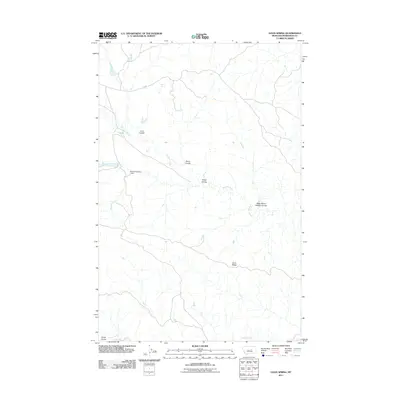
2011 Map of Davis Spring
USGS Topo · Published 2011About this map
Davis Spring and the surrounding drainage network of Petroleum County define this landscape as it appeared in the early 21st century. The map highlights a series of deep ravines or coulees, including Lane Coulee, Fisher Coulee, and the curiously named West School Section Coulee. This drainage system feeds into larger water bodies like Dovetail Creek, which is obstructed by the Dovetail Number 1 Dam, and Blood Creek to the south.
Find a feature on this map
11 named features on this map. Tap any name to fly to it.
Don’t see what you’re looking for? This feature index may not catch every label — zoom into the map to look around manually.
Map Details
Editions of this 2011 Davis Spring Map
This is the sole edition of this map. No revisions or reprints were ever made.
Other maps of this area

1954 · Lewistown
USGS Topo · 1:250,000

1959 · Lewistown
USGS Topo · 1:250,000
1965 · Weingart Place
USGS Topo · 1:24,000

1965 · Weingart Place NW
USGS Topo · 1:24,000
1985 · Kirkendal Flat
USGS Topo · 1:24,000

1985 · Brown Spring
USGS Topo · 1:24,000
1985 · Dovetail Butte
USGS Topo · 1:24,000
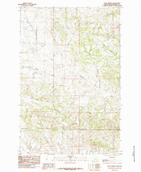
1985 · Davis Spring
USGS Topo · 1:24,000
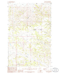
1986 · Tin Can Hill
USGS Topo · 1:24,000

1986 · Dry Blood Creek East
USGS Topo · 1:24,000