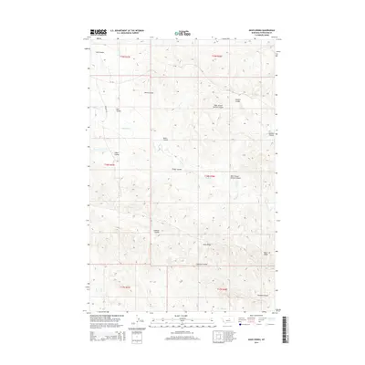
2014 Map of Davis Spring
USGS Topo · Published 2014About this map
Davis Spring serves as a focal point in this Petroleum County landscape, where the terrain is heavily defined by a system of drainage coulees and ridges. The network of seasonal watercourses includes the prominent Swanson Coulee in the south and the long stretches of Fisher Coulee and Davis Coulee further north. These features illustrate the erosion patterns of the Montana plains, punctuated by high ground like Dunn Ridge.
Find a feature on this map
18 named features on this map. Tap any name to fly to it.
Don’t see what you’re looking for? This feature index may not catch every label — zoom into the map to look around manually.
Map Details
Editions of this 2014 Davis Spring Map
This is the sole edition of this map. No revisions or reprints were ever made.
Other maps of this area

1954 · Lewistown
USGS Topo · 1:250,000

1959 · Lewistown
USGS Topo · 1:250,000
1965 · Weingart Place
USGS Topo · 1:24,000

1965 · Weingart Place NW
USGS Topo · 1:24,000
1985 · Kirkendal Flat
USGS Topo · 1:24,000

1985 · Brown Spring
USGS Topo · 1:24,000
1985 · Dovetail Butte
USGS Topo · 1:24,000
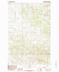
1985 · Davis Spring
USGS Topo · 1:24,000
1986 · Tin Can Hill
USGS Topo · 1:24,000

1986 · Dry Blood Creek East
USGS Topo · 1:24,000