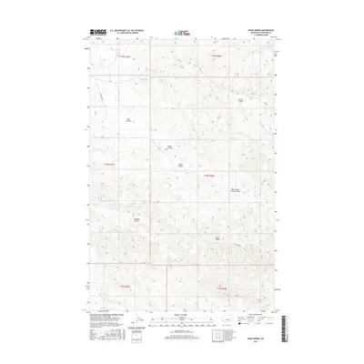
2017 Map of Davis Spring
USGS Topo · Published 2017About this map
Davis Spring and the intricate drainage systems of Petroleum County define this modern topographic study of central Montana. The landscape is characterized by a dense network of coulees, which serve as the primary geographical markers for this ranching and grazing country. Notable features include Gordon Coulee, Fisher Coulee, and West School Section Coulee, indicating the historical importance of the public land survey system and school land grants in shaping regional boundaries. The hydrology is dominated by Dovetail Cr and Blood Cr, which carve through the high plains. Movement through this territory is facilitated by local routes like Weingart Ln and Dunn Ridge St, alongside the 79 Trl, reflecting a sparse but functional infrastructure tailored to the land's open character and the prominence of Dunn Ridge.
Find a feature on this map
19 named features on this map. Tap any name to fly to it.
Don’t see what you’re looking for? This feature index may not catch every label — zoom into the map to look around manually.
Map Details
Editions of this 2017 Davis Spring Map
This is the sole edition of this map. No revisions or reprints were ever made.
Other maps of this area

1954 · Lewistown
USGS Topo · 1:250,000

1959 · Lewistown
USGS Topo · 1:250,000
1965 · Weingart Place
USGS Topo · 1:24,000

1965 · Weingart Place NW
USGS Topo · 1:24,000
1985 · Kirkendal Flat
USGS Topo · 1:24,000

1985 · Brown Spring
USGS Topo · 1:24,000
1985 · Dovetail Butte
USGS Topo · 1:24,000
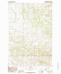
1985 · Davis Spring
USGS Topo · 1:24,000
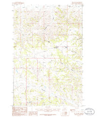
1986 · Tin Can Hill
USGS Topo · 1:24,000

1986 · Dry Blood Creek East
USGS Topo · 1:24,000