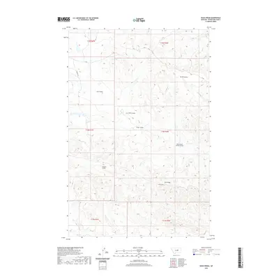
2020 Map of Davis Spring
USGS Topo · Published 2020About this map
Davis Spring and a series of deeply etched drainage systems define this Petroleum County landscape, where the High Plains transition into complex coulee topography. The map illustrates a network of named natural features such as Gordon Coulee and Swanson Coulee, which serve as primary conduits for seasonal runoff toward Dovetail Cr and Blood Cr. These waterways are critical landmarks in a region dominated by large-scale ranching and land management divisions, reflected in the township and range boundaries of the Public Land Survey System.
Find a feature on this map
18 named features on this map. Tap any name to fly to it.
Don’t see what you’re looking for? This feature index may not catch every label — zoom into the map to look around manually.
Map Details
Editions of this 2020 Davis Spring Map
This is the sole edition of this map. No revisions or reprints were ever made.
Other maps of this area

1954 · Lewistown
USGS Topo · 1:250,000

1959 · Lewistown
USGS Topo · 1:250,000
1965 · Weingart Place
USGS Topo · 1:24,000

1965 · Weingart Place NW
USGS Topo · 1:24,000
1985 · Kirkendal Flat
USGS Topo · 1:24,000

1985 · Brown Spring
USGS Topo · 1:24,000
1985 · Dovetail Butte
USGS Topo · 1:24,000
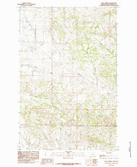
1985 · Davis Spring
USGS Topo · 1:24,000
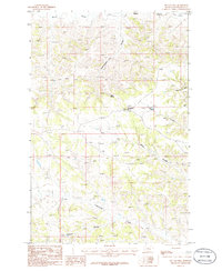
1986 · Tin Can Hill
USGS Topo · 1:24,000

1986 · Dry Blood Creek East
USGS Topo · 1:24,000