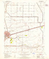
1952 Map of Davis
USGS Topo · Published 1953About this map
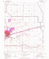
The town of Davis and the Univ of Calif College of Agric anchor this early 1950s survey of the Yolo County landscape. The map illustrates a region defined by extensive water management and transportation infrastructure, dominated by the massive Willow Slough By-Pass and the Yolo Bypass designed to handle Sacramento Valley runoff. The Southern Pacific railroad cuts directly through the heart of the settlement, passing the High Sch and heading east toward the Yolo Causeway.
Find a feature on this map
20 named features on this map. Tap any name to fly to it.
Don’t see what you’re looking for? This feature index may not catch every label — zoom into the map to look around manually.
Map Details
Editions of this 1952 Davis Map
8 editions found
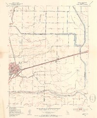
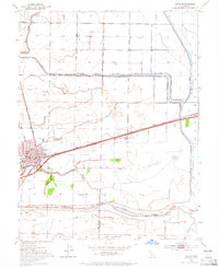
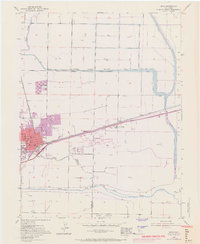
Other maps of this area

1907 · Woodland
USGS Topo · 1:62,500

1907 · Davisville
USGS Topo · 1:62,500

1908 · Vacaville
USGS Topo · 1:62,500

1908 · Courtland
USGS Topo · 1:62,500

1915 · Yolo
USGS Topo · 1:31,680

1915 · Swingle
USGS Topo · 1:31,680
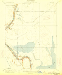
1915 · Elkhorn Weir
USGS Topo · 1:31,680

1915 · Merritt
USGS Topo · 1:31,680

1916 · Dixon
USGS Topo · 1:31,680

1916 · Grays Bend
USGS Topo · 1:31,680