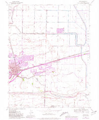
1952 Map of Davis
USGS Topo · Published 1981About this map
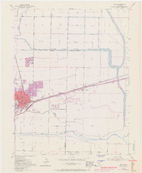
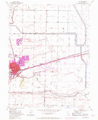
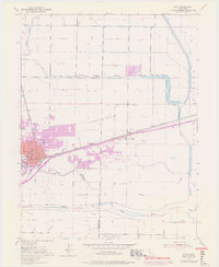
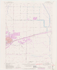
The academic and agricultural landscape of Yolo and Solano counties centers on the growing footprint of the Univ Of Calif at Davis. This 1952 survey, with revisions through the late 1970s, captures the town's expansion toward El Macero and the establishment of local institutions like Oliver Wendell Holmes Jr High Sch and Emerson Jr High Sch. The region's hydraulic engineering is prominently displayed through the Willow Slough Bypass and the embankments of Putah Creek, which define the low-lying terrain. Transport infrastructure is anchored by the Southern Pacific railroad and the Yolo Causeway, crossing the flood-prone bypass lands. To the east, smaller rail sidings and stops such as Swingle and Webster appear alongside the State Nursery Div of Forestry, reflecting the area's deep-rooted connection to state-managed agriculture and forestry research.
Find a feature on this map
24 named features on this map. Tap any name to fly to it.
Don’t see what you’re looking for? This feature index may not catch every label — zoom into the map to look around manually.
Map Details
Editions of this 1952 Davis Map
8 editions found
Other maps of this area

1907 · Woodland
USGS Topo · 1:62,500

1907 · Davisville
USGS Topo · 1:62,500

1908 · Vacaville
USGS Topo · 1:62,500

1908 · Courtland
USGS Topo · 1:62,500

1915 · Yolo
USGS Topo · 1:31,680

1915 · Swingle
USGS Topo · 1:31,680
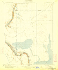
1915 · Elkhorn Weir
USGS Topo · 1:31,680

1915 · Merritt
USGS Topo · 1:31,680

1916 · Dixon
USGS Topo · 1:31,680

1916 · Grays Bend
USGS Topo · 1:31,680