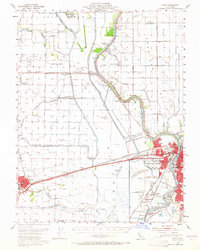
1954 Map of Davis
USGS Topo · Published 1965About this map
Davis and the surrounding Yolo County agricultural landscape appear here during a period of significant hydraulic engineering and postwar growth. The complex water management system of the Sacramento Valley is clearly visible, dominated by the Willow Slough Bypass and the Sacramento Bypass, which redirect seasonal flows across the flat basin. Of particular historical interest is the Sacramento Deep Water Channel, shown as a work in progress, a massive infrastructure project that would soon transform regional commerce.
Find a feature on this map
79 named features on this map. Tap any name to fly to it.
Don’t see what you’re looking for? This feature index may not catch every label — zoom into the map to look around manually.
Map Details
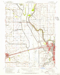
Editions of this 1954 Davis Map
2 editions found
Other maps of this area

1891 · Sacramento
USGS Topo · 1:125,000

1892 · Sacramento
USGS Topo · 1:125,000

1893 · Sacramento
USGS Topo · 1:125,000

1894 · Lodi
USGS Topo · 1:125,000

1902 · Fairoaks
USGS Topo · 1:62,500

1907 · Dunnigan
USGS Topo · 1:62,500

1907 · Woodland
USGS Topo · 1:62,500

1907 · Davisville
USGS Topo · 1:62,500

1908 · Vacaville
USGS Topo · 1:62,500

1908 · Courtland
USGS Topo · 1:62,500