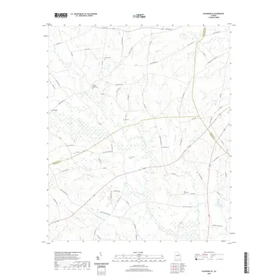
2020 Map of Davisboro SE
USGS Topo · Published 2020About this map
The Little Ohoopee River and its numerous tributaries, including Hurricane Br and Nealey Cr, define the drainage patterns across this rural landscape in southeastern Georgia. The terrain is characterized by a dense network of family-named roads and landmarks, reflecting a deep-seated history of local landownership and small-scale agriculture. The map is particularly valuable for genealogical research, identifying several significant burial sites such as Whitfield Cem, Pleasant Springs Church Cem, and the King Mason Cem. These sites, alongside landmarks like News Bridge and Dukes Lake, provide a framework for understanding the social geography of the region. The boundary lines for Washington, Johnson, and Jefferson counties converge here, highlighting the area's position as a rural crossroads shaped by the waters of Little Battleground Cr and Smith Cr.
Find a feature on this map
67 named features on this map. Tap any name to fly to it.
Don’t see what you’re looking for? This feature index may not catch every label — zoom into the map to look around manually.
Map Details
Editions of this 2020 Davisboro SE Map
This is the sole edition of this map. No revisions or reprints were ever made.
Other maps of this area

1957 · Macon
USGS Topo · 1:250,000

1958 · Macon
USGS Topo · 1:250,000

1964 · Macon
USGS Topo · 1:250,000

1971 · Dellwood
USGS Topo · 1:24,000
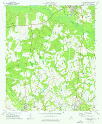
1973 · Louisville South
USGS Topo · 1:24,000
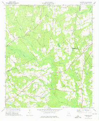
1973 · Davisboro SE
USGS Topo · 1:24,000
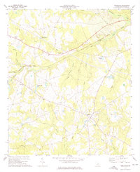
1973 · Riddleville
USGS Topo · 1:24,000
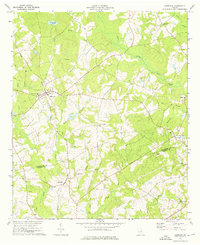
1973 · Harrison
USGS Topo · 1:24,000
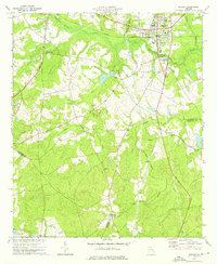
1973 · Wadley
USGS Topo · 1:24,000

1974 · Kite
USGS Topo · 1:24,000