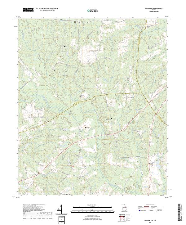
2024 Map of Davisboro SE
USGS Topo · Published 2024About this map
The Little Ohoopee River and its numerous tributaries, including Hurricane Branch and Little Battleground Creek, carve through this rural landscape at the meeting point of Washington, Johnson, and Jefferson counties. The terrain is defined by a dense network of country roads like Bartow-Dublin Rd and Tarver Grove Rd that connect family-named landmarks and water features such as Dukes Lake and Harrison Pond.
Find a feature on this map
72 named features on this map. Tap any name to fly to it.
Don’t see what you’re looking for? This feature index may not catch every label — zoom into the map to look around manually.
Map Details
Editions of this 2024 Davisboro SE Map
This is the sole edition of this map. No revisions or reprints were ever made.
Other maps of this area

1957 · Macon
USGS Topo · 1:250,000

1958 · Macon
USGS Topo · 1:250,000

1964 · Macon
USGS Topo · 1:250,000

1971 · Dellwood
USGS Topo · 1:24,000
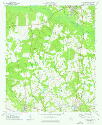
1973 · Louisville South
USGS Topo · 1:24,000
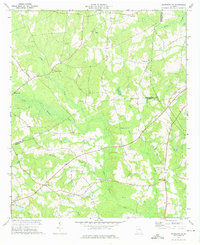
1973 · Davisboro SE
USGS Topo · 1:24,000
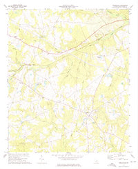
1973 · Riddleville
USGS Topo · 1:24,000
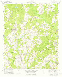
1973 · Harrison
USGS Topo · 1:24,000
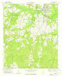
1973 · Wadley
USGS Topo · 1:24,000

1974 · Kite
USGS Topo · 1:24,000