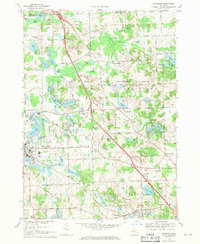
1968 Map of Davisburg
USGS Topo · Published 1971About this map
Holly State Recreation Area dominates the central landscape of this 1960s survey, illustrating a region defined by its glacial kettle lakes and evolving recreational infrastructure. The village of Holly serves as a western anchor, positioned near Lakeside Cem and the intersection of the Chesapeake and Ohio and Grand Trunk Western railroads. To the southeast, the unincorporated community of Davisburg sits along the rail line, featuring its own Davisburg Park and Davisburg Cem. The map provides a detailed view of the transition from agricultural land to public use, with numerous camps and parks such as Camp Tamarack and Camp Hetty punctuating the lake-strewn terrain. Significant elevation changes are noted at Mount Holly, while smaller settlements like Groveland Mills and Groveland Corners hint at the area's earlier milling and crossroads history.
Find a feature on this map
92 named features on this map. Tap any name to fly to it.
Don’t see what you’re looking for? This feature index may not catch every label — zoom into the map to look around manually.
Map Details
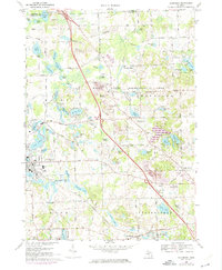
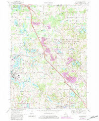
Editions of this 1968 Davisburg Map
3 editions found
Other maps of this area

1907 · Pontiac
USGS Topo · 1:62,500

1909 · Milford
USGS Topo · 1:62,500

1920 · Holly
USGS Topo · 1:62,500

1922 · Holly
USGS Topo · 1:62,500

1936 · Highland
USGS Topo · 1:31,680

1936 · Clarkston
USGS Topo · 1:31,680

1942 · Highland
USGS Topo · 1:24,000

1943 · Holly
USGS Topo · 1:62,500

1943 · Clarkston
USGS Topo · 1:24,000

1943 · Ortonville
USGS Topo · 1:24,000