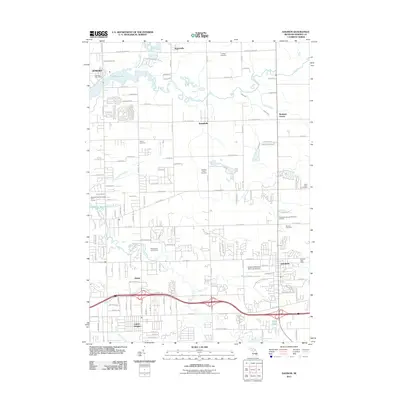
2011 Map of Davison
USGS Topo · Published 2011About this map
Davison serves as the primary hub of this Genesee County landscape, where the convergence of the Flint River and numerous drainage systems like Zuleit Drain and Clark Drain define the local topography. This 2011 survey illustrates the residential expansion radiating from the city center toward outlying communities such as Richfield Center and Russellville. The area's social and historical fabric is documented through a high density of burial grounds, including the Richfield Union Cemetery, Tanner Cemetery, and Saint Johns Cemetery. Transportation infrastructure is a dominant feature, with the heavy corridor of Lapeer Road cutting through the southern portion of the sheet near Lapeer Heights. Recreational and utility land use is evident at Kearsley Reservoir and the Brookwood Golf Course, while the northern reaches maintain a more open character near Rogersville and the banks of CS Mott Lake.
Find a feature on this map
83 named features on this map. Tap any name to fly to it.
Don’t see what you’re looking for? This feature index may not catch every label — zoom into the map to look around manually.
Map Details
Editions of this 2011 Davison Map
This is the sole edition of this map. No revisions or reprints were ever made.
Other maps of this area

1920 · Flint
USGS Topo · 1:62,500

1920 · Holly
USGS Topo · 1:62,500

1922 · Holly
USGS Topo · 1:62,500

1922 · Flint
USGS Topo · 1:62,500

1943 · Holly
USGS Topo · 1:62,500

1943 · Flint
USGS Topo · 1:62,500

1945 · Hadley
USGS Topo · 1:24,000

1954 · Detroit
USGS Topo · 1:250,000

1954 · Flint
USGS Topo · 1:250,000

1958 · Flint
USGS Topo · 1:250,000