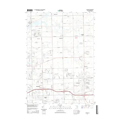
2014 Map of Davison
USGS Topo · Published 2014About this map
The Flint River winds across this Genesee County landscape, shaping a region defined by residential growth and historic crossroads. The city of Davison anchors the eastern edge, while the expansion of Burton and Lapeer Heights to the south reflects the mid-century suburbanization of the Flint metropolitan area. Significant water features like C S Mott Lake and the Kearsley Reservoir provide key recreational and infrastructure points amidst a network of drainage systems including Parker Scothan Drain and Zufelt Drain.
Find a feature on this map
86 named features on this map. Tap any name to fly to it.
Don’t see what you’re looking for? This feature index may not catch every label — zoom into the map to look around manually.
Map Details
Editions of this 2014 Davison Map
This is the sole edition of this map. No revisions or reprints were ever made.
Other maps of this area

1920 · Flint
USGS Topo · 1:62,500

1920 · Holly
USGS Topo · 1:62,500

1922 · Holly
USGS Topo · 1:62,500

1922 · Flint
USGS Topo · 1:62,500

1943 · Holly
USGS Topo · 1:62,500

1943 · Flint
USGS Topo · 1:62,500

1945 · Hadley
USGS Topo · 1:24,000

1954 · Detroit
USGS Topo · 1:250,000

1954 · Flint
USGS Topo · 1:250,000

1958 · Flint
USGS Topo · 1:250,000