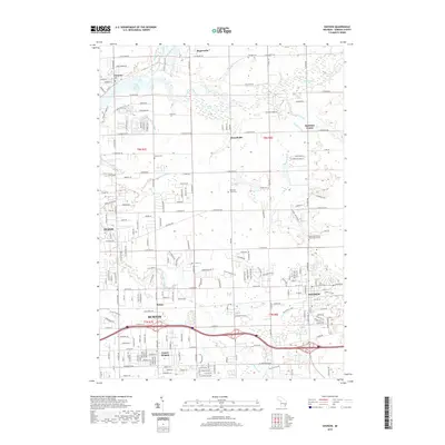
2019 Map of Davison
USGS Topo · Published 2019About this map
C S Mott Lake and the Flint River dominate the northern landscape of this Genesee County region, where the terrain is defined by an intricate network of drainage systems such as Barker Scothan Drain and Clark Drain. The transition from the urban periphery of Flint and Burton in the southwest to the rural reaches of Richfield Center and Rogersville reveals a pattern of mid-Michigan development where suburban expansion meets long-established farming communities.
Find a feature on this map
85 named features on this map. Tap any name to fly to it.
Don’t see what you’re looking for? This feature index may not catch every label — zoom into the map to look around manually.
Map Details
Editions of this 2019 Davison Map
This is the sole edition of this map. No revisions or reprints were ever made.
Other maps of this area

1920 · Flint
USGS Topo · 1:62,500

1920 · Holly
USGS Topo · 1:62,500

1922 · Holly
USGS Topo · 1:62,500

1922 · Flint
USGS Topo · 1:62,500

1943 · Holly
USGS Topo · 1:62,500

1943 · Flint
USGS Topo · 1:62,500

1945 · Hadley
USGS Topo · 1:24,000

1954 · Detroit
USGS Topo · 1:250,000

1954 · Flint
USGS Topo · 1:250,000

1958 · Flint
USGS Topo · 1:250,000