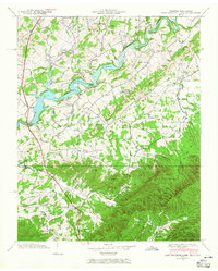
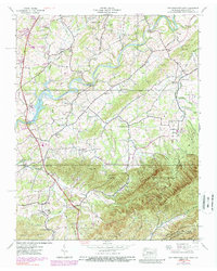
1939 Map of Davy Crockett Lake
USGS Topo · Published 1965About this map
Davy Crockett Lake dominates this landscape on the Nolichucky River, where early 20th-century infrastructure meets the rising peaks of the Bald Mountains. The 1939 field examination reveals a rural network of community anchors, including the Orphanage near Camp Creek and numerous educational sites like Sunnyside Sch and Sunnydale Sch. This era predates significant modernization, showing industrial and agricultural life through Cove Creek Mill and an Experiment Station near the river banks.
Find a feature on this map
62 named features on this map. Tap any name to fly to it.
Don’t see what you’re looking for? This feature index may not catch every label — zoom into the map to look around manually.
Map Details
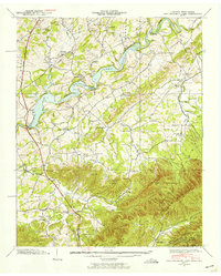
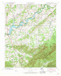
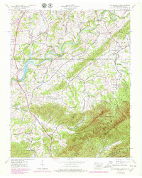
Editions of this 1939 Davy Crockett Lake Map
5 editions found
Other maps of this area

1892 · Greeneville
USGS Topo · 1:125,000

1894 · Asheville
USGS Topo · 1:125,000

1896 · Greeneville
USGS Topo · 1:125,000

1901 · Asheville
USGS Topo · 1:125,000

1904 · Greeneville
USGS Topo · 1:125,000

1935 · Paint Rock
USGS Topo · 1:24,000

1935 · Mosheim
USGS Topo · 1:24,000

1935 · Cedar Creek
USGS Topo · 1:24,000

1935 · Hot Springs
USGS Topo · 1:24,000

1936 · Greystone
USGS Topo · 1:24,000