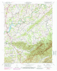
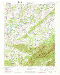
1939 Map of Davy Crockett Lake
USGS Topo · Published 1988About this map
Staunton Mill stands near the northern boundary of this Greene County landscape, where the Richland Creek and East Fork meet the powerful Nolichucky River. The map captures a transitional era for the region, balancing agricultural tradition with institutional developments like the Experiment Station and an Orphanage near Camp Creek. The creation of Davy Crockett Lake by the Nolichucky Dam reflects the mid-century transformation of the river valley, while older footpaths like the Lonesome Pine Trail and the Appalachian Trail wind through the southern elevations of the Bald Mountains. Rural life is anchored by numerous community landmarks, including the Sunnyside Sch and Bernard Chapel, alongside small settlements such as DeBusk and Whitesand. The southern half of the sheet is dominated by the steep terrain of the Cherokee National Forest, featuring landmarks like Taylor Knob and Cutshaw Gap.
Find a feature on this map
55 named features on this map. Tap any name to fly to it.
Don’t see what you’re looking for? This feature index may not catch every label — zoom into the map to look around manually.
Map Details
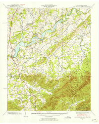
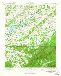
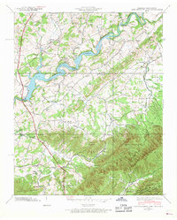
Editions of this 1939 Davy Crockett Lake Map
5 editions found
Other maps of this area

1892 · Greeneville
USGS Topo · 1:125,000

1894 · Asheville
USGS Topo · 1:125,000

1896 · Greeneville
USGS Topo · 1:125,000

1901 · Asheville
USGS Topo · 1:125,000

1904 · Greeneville
USGS Topo · 1:125,000

1935 · Paint Rock
USGS Topo · 1:24,000

1935 · Mosheim
USGS Topo · 1:24,000

1935 · Cedar Creek
USGS Topo · 1:24,000

1935 · Hot Springs
USGS Topo · 1:24,000

1936 · Greystone
USGS Topo · 1:24,000