2023 Map of Dawn
USGS Topo · Published 2023About this map
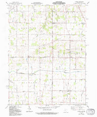
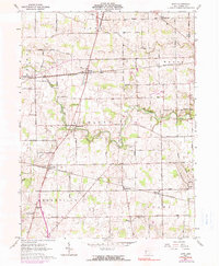
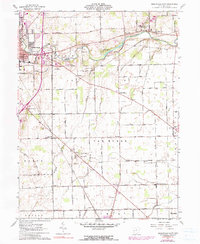
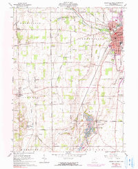
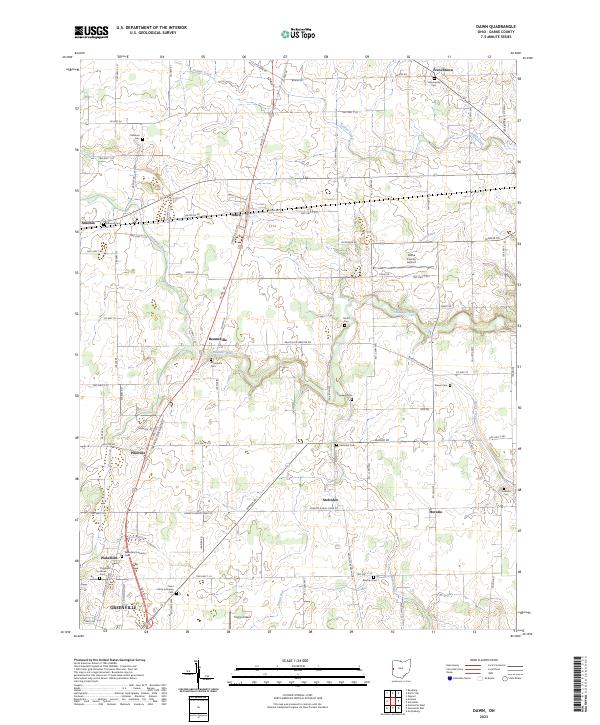
Agricultural lands and scattered crossroads communities define this landscape in Darke County, where the Stillwater River and Indian Creek meander through a grid of township roads. This area is a significant hub for genealogical research, evidenced by the high density of family-named burial grounds like Kershner Cem, Hartle Cem, and Coppess Cem. Small settlements such as Beamsville, Stelvideo, and Horatio serve as local anchors between larger townships. The infrastructure supporting the local aviation community is prominent, featuring both the Darke County Airport and the smaller Trump Airport. Religious and community history is anchored by sites like the Wakefield Lutheran Cem and Saint Johns Lutheran Cem, reflecting the deep-rooted settlement patterns of this Ohio heartland.
Find a feature on this map
99 named features on this map. Tap any name to fly to it.
Don’t see what you’re looking for? This feature index may not catch every label — zoom into the map to look around manually.
Map Details
Editions of this 2023 Dawn Map
This is the sole edition of this map. No revisions or reprints were ever made.
Historical Maps of Needmore Through Time
8 maps found