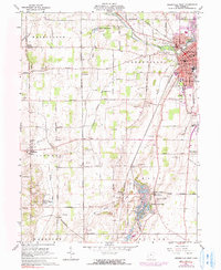
1961 Map of Greenville West
USGS Topo · Published 1990About this map
The Treaty of Greenville State Park and the historic seat of Greenville anchor this survey of western Darke County, where the landscape transitions from established town blocks to a dense network of family farms and rural cemeteries. The area's deep history is reflected in landmarks like the Fort Jefferson State Memorial, situated near the waters of Mud Creek. A distinct corridor of industry and recreation runs through the quadrangle, from the extensive Gravel Pits dotting the township lines to the complex water features of Wayne Lakes Park and the Fish Hatchery. Local transit and genealogy are well-preserved here, following the Penn Central rail line and numerous named country roads such as Hogpath Road and Weavers Station Road. Small rural clusters like Nashville, Palestine, and Baker are mapped alongside several historic burial grounds, including the Dininger Cem and Heller Cem.
Find a feature on this map
89 named features on this map. Tap any name to fly to it.
Don’t see what you’re looking for? This feature index may not catch every label — zoom into the map to look around manually.
Map Details
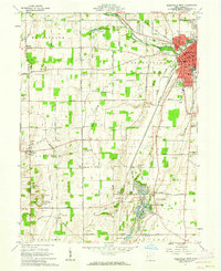
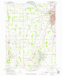
Editions of this 1961 Greenville West Map
Other maps of this area

1915 · New Paris
USGS Topo · 1:48,000

1916 · Winchester
USGS Topo · 1:48,000

1918 · Winchester
USGS Topo · 1:62,500

1918 · New Paris
USGS Topo · 1:62,500

1943 · Winchester
USGS Topo · 1:62,500

1953 · Cincinnati
USGS Topo · 1:250,000

1953 · Muncie
USGS Topo · 1:250,000

1956 · Muncie
USGS Topo · 1:250,000

1957 · Cincinnati
USGS Topo · 1:250,000

1960 · Union City
USGS Topo · 1:24,000