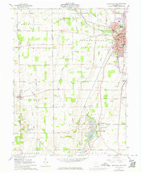
1961 Map of Greenville West
USGS Topo · Published 1974About this map
Greenville serves as the focal point of this western Darke County landscape, situated at the confluence of Greenville Creek and Mud Creek. The map documents a region deeply connected to Ohio's frontier past, notably preserving the Treaty of Greenville State Park and the Fort Jefferson State Memorial further south. These sites anchor a terrain defined by agriculture and water, where Sugar Valley Lakes and Wayne Lakes Park provide recreation alongside a working landscape of numerous Gravel Pits.
Find a feature on this map
92 named features on this map. Tap any name to fly to it.
Don’t see what you’re looking for? This feature index may not catch every label — zoom into the map to look around manually.
Map Details
Editions of this 1961 Greenville West Map
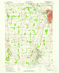
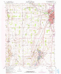
Other maps of this area

1915 · New Paris
USGS Topo · 1:48,000

1916 · Winchester
USGS Topo · 1:48,000

1918 · Winchester
USGS Topo · 1:62,500

1918 · New Paris
USGS Topo · 1:62,500

1943 · Winchester
USGS Topo · 1:62,500

1953 · Cincinnati
USGS Topo · 1:250,000

1953 · Muncie
USGS Topo · 1:250,000

1956 · Muncie
USGS Topo · 1:250,000

1957 · Cincinnati
USGS Topo · 1:250,000

1960 · Union City
USGS Topo · 1:24,000