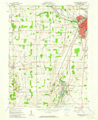
1961 Map of Greenville West
USGS Topo · Published 1962About this map
Greenville serves as the focal point of this 1961 survey, situated at the intersection of the Pennsylvania Railroad and New York Central Railroad. The map documents a landscape defined by its historical frontier legacy and evolving mid-century recreation, most notably at the Treaty of Greenville State Park. Outside the city center, the terrain transitions into the Hills of Judea and the watery expanse of Wayne Lakes Park, which features a complex of small water bodies and a Fish Hatchery.
Find a feature on this map
96 named features on this map. Tap any name to fly to it.
Don’t see what you’re looking for? This feature index may not catch every label — zoom into the map to look around manually.
Map Details
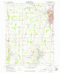
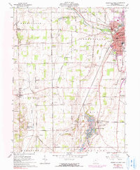
Editions of this 1961 Greenville West Map
Other maps of this area

1915 · New Paris
USGS Topo · 1:48,000

1916 · Winchester
USGS Topo · 1:48,000

1918 · Winchester
USGS Topo · 1:62,500

1918 · New Paris
USGS Topo · 1:62,500

1943 · Winchester
USGS Topo · 1:62,500

1953 · Cincinnati
USGS Topo · 1:250,000

1953 · Muncie
USGS Topo · 1:250,000

1956 · Muncie
USGS Topo · 1:250,000

1957 · Cincinnati
USGS Topo · 1:250,000

1960 · Union City
USGS Topo · 1:24,000