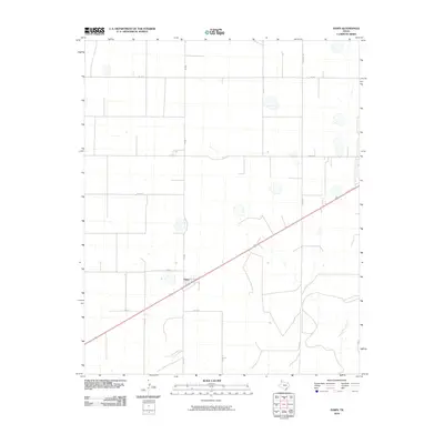
2010 Map of Dawn
USGS Topo · Published 2010About this map
The settlement of Dawn serves as the focal point of this Deaf Smith County survey, situated at the crossing of major regional routes and the local rail line. The landscape is defined by a rigid grid of agricultural roads, including Fm 1062, Westline Rd, and Church Rd, which partition the High Plains into large productive tracts. This geometric precision is interrupted only by the natural course of Tierra Blanca Creek, which winds through the southeastern portion of the quadrangle. The 2010 data reveals the enduring rural character of the Texas Panhandle, where transport corridors like Fm 809 and Westgate facilitate the movement of goods and resources between isolated farmsteads and the central rail hub at Dawn.
Find a feature on this map
15 named features on this map. Tap any name to fly to it.
Don’t see what you’re looking for? This feature index may not catch every label — zoom into the map to look around manually.
Map Details
Editions of this 2010 Dawn Map
This is the sole edition of this map. No revisions or reprints were ever made.
Other maps of this area

1954 · Tucumcari
USGS Topo · 1:250,000

1954 · Clovis
USGS Topo · 1:250,000

1958 · Clovis
USGS Topo · 1:250,000

1958 · Tucumcari
USGS Topo · 1:250,000

1961 · Buffalo Lake
USGS Topo · 1:62,500

1962 · Wildorado
USGS Topo · 1:62,500

1965 · Allison Ranch
USGS Topo · 1:24,000

1971 · Hereford NE
USGS Topo · 1:24,000

1971 · Hereford SE
USGS Topo · 1:24,000
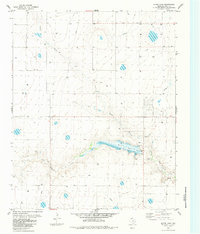
1984 · Bivins Lake
USGS Topo · 1:24,000