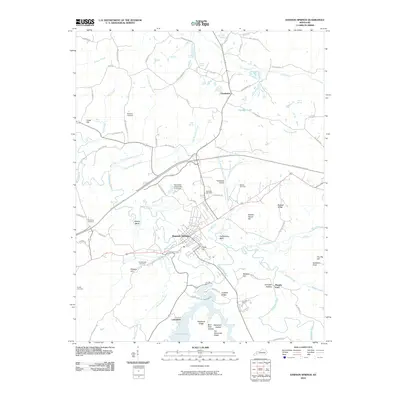
2010 Map of Dawson Springs
USGS Topo · Published 2010About this map
Dawson Springs serves as the focal point of this Kentucky landscape, situated along the meandering banks of the Tradewater River. The area exhibits a blend of rural settlement and recreational development, anchored to the south by the extensive waters of Lake Beshear and the lakeside community of Lakeshore. Topographical features such as Purdy Hill and Penitentiary Bend shape the river valley, while the local infrastructure includes the Tradewater Airport and the University of Kentucky 4-H Camp.
Find a feature on this map
85 named features on this map. Tap any name to fly to it.
Don’t see what you’re looking for? This feature index may not catch every label — zoom into the map to look around manually.
Map Details
Editions of this 2010 Dawson Springs Map
This is the sole edition of this map. No revisions or reprints were ever made.
Other maps of this area

1907 · Earlington
USGS Topo · 1:48,000

1908 · Princeton
USGS Topo · 1:62,500

1909 · Dawson Springs
USGS Topo · 1:48,000

1909 · Earlington
USGS Topo · 1:62,500

1909 · Providence
USGS Topo · 1:62,500

1910 · Princeton
USGS Topo · 1:62,500

1911 · Dawson Springs
USGS Topo · 1:62,500

1953 · Dawson Springs SE
USGS Topo · 1:24,000

1953 · Dawson Springs SW
USGS Topo · 1:24,000

1954 · Evansville
USGS Topo · 1:250,000