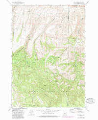
1972 Map of Day Basin
USGS Topo · Published 1985About this map
Ochoco National Forest dominates the southern reaches of this central Oregon landscape, where the high desert meets the forested slopes of the Blue Mountains. The terrain is defined by a series of steep drainages and ridges, notably Juniper Ridge and the eponymous Day Basin. A small portion of the John Day Fossil Beds Nat Mon appears in the northeast corner along Cottonwood Creek, marking a region famous for its paleontological significance.
Find a feature on this map
39 named features on this map. Tap any name to fly to it.
Don’t see what you’re looking for? This feature index may not catch every label — zoom into the map to look around manually.
Map Details
Editions of this 1972 Day Basin Map
2 editions found
Other maps of this area

1932 · Dayville
USGS Topo · 1:125,000

1936 · Dayville
USGS Topo · 1:125,000

1953 · Richmond
USGS Topo · 1:62,500

1953 · Picture
USGS Topo · 1:62,500

1955 · Canyon City
USGS Topo · 1:250,000

1959 · Canyon City
USGS Topo · 1:250,000

1966 · Antone
USGS Topo · 1:24,000

1966 · Six Corners
USGS Topo · 1:24,000

1972 · Wolf Mountain
USGS Topo · 1:24,000

1972 · Day Basin
USGS Topo · 1:24,000