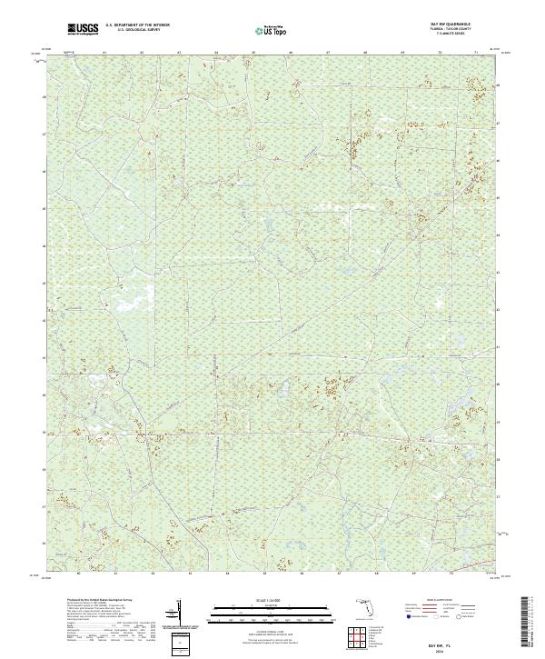
2024 Map of Day NW
USGS Topo · Published 2024About this map
San Pedro Bay dominates this portion of Taylor County, Florida, defining a landscape of wetlands and low-lying terrain. The map details an extensive network of forestry and access roads that cut through the bay, including Westberry Grade and the distinctive St Marys Canal Grade. These infrastructure patterns, alongside names like Oil Well Rd and Gas Line Rd, point to a history of resource extraction and land management within the swampy interior.
Find a feature on this map
47 named features on this map. Tap any name to fly to it.
Don’t see what you’re looking for? This feature index may not catch every label — zoom into the map to look around manually.
Map Details
Editions of this 2024 Day NW Map
This is the sole edition of this map. No revisions or reprints were ever made.
Other maps of this area

1954 · Fenholloway
USGS Topo · 1:24,000

1954 · Day SE
USGS Topo · 1:24,000

1954 · Day
USGS Topo · 1:24,000

1954 · Boyd
USGS Topo · 1:24,000

1954 · Day NW
USGS Topo · 1:24,000

1954 · Valdosta
USGS Topo · 1:250,000

1955 · Perry
USGS Topo · 1:24,000

1955 · Greenville SE
USGS Topo · 1:24,000

1958 · Valdosta
USGS Topo · 1:250,000

1958 · Madison SW
USGS Topo · 1:24,000