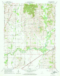
1961 Map of Daylight
USGS Topo · Published 1963About this map
Pigeon Creek and its complex network of drainage ditches define the agricultural lowlands of the Vanderburgh and Warrick County line during the early 1960s. The landscape is a mix of high-ground timber near Little Ditney Hill and the established rural settlements of Daylight, Fisherville, and Millersburg. Historically significant infrastructure remains visible, most notably the path of the Wabash and Erie Canal in the northeast and the intersection of the New York Central and Southern Railroad lines that facilitated the local economy. Small-scale rural life is anchored by family-named sites and religious centers like Cent St Johns Ch and Asbury Cem. The presence of Camp Bell and a prominent Radio Tower reflect mid-century land use amidst the steady transition toward more developed communities like Chandler.
Find a feature on this map
40 named features on this map. Tap any name to fly to it.
Don’t see what you’re looking for? This feature index may not catch every label — zoom into the map to look around manually.
Map Details
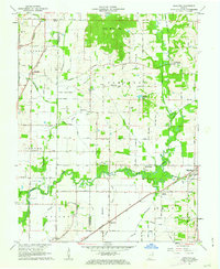
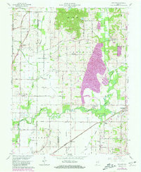
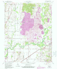
Editions of this 1961 Daylight Map
4 editions found
Other maps of this area

1901 · Haubstadt
USGS Topo · 1:62,500

1902 · Ditney
USGS Topo · 1:125,000

1902 · Boonville
USGS Topo · 1:62,500

1903 · Haubstadt
USGS Topo · 1:62,500

1903 · Patoka
USGS Topo · 1:125,000

1905 · Newburg
USGS Topo · 1:62,500

1914 · Henderson
USGS Topo · 1:48,000

1916 · Henderson
USGS Topo · 1:62,500

1951 · Yankeetown
USGS Topo · 1:24,000

1952 · Evansville
USGS Topo · 1:24,000