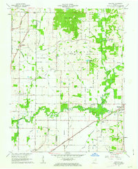
1961 Map of Daylight
USGS Topo · Published 1972About this map
Pigeon Creek meanders across this landscape of southwestern Indiana, defining the drainage patterns through Campbell and Ohio townships. The map documents a rural transition where traditional farmstead infrastructure like the Burkhardt Sch and numerous country churches, including Zoar Ch and Blue Grass Ch, sit alongside growing settlements. A significant transportation corridor is evident where the New York Central and Southern railroads intersect the road network, supporting local hubs like Daylight, Fisherville, and Chandler.
Find a feature on this map
36 named features on this map. Tap any name to fly to it.
Don’t see what you’re looking for? This feature index may not catch every label — zoom into the map to look around manually.
Map Details
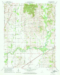
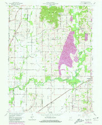
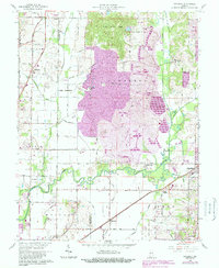
Editions of this 1961 Daylight Map
4 editions found
Other maps of this area

1901 · Haubstadt
USGS Topo · 1:62,500

1902 · Ditney
USGS Topo · 1:125,000

1902 · Boonville
USGS Topo · 1:62,500

1903 · Haubstadt
USGS Topo · 1:62,500

1903 · Patoka
USGS Topo · 1:125,000

1905 · Newburg
USGS Topo · 1:62,500

1914 · Henderson
USGS Topo · 1:48,000

1916 · Henderson
USGS Topo · 1:62,500

1951 · Yankeetown
USGS Topo · 1:24,000

1952 · Evansville
USGS Topo · 1:24,000