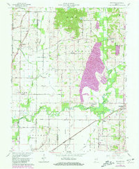
1961 Map of Daylight
USGS Topo · Published 1981About this map
Pigeon Creek and its many tributaries, including Bluegrass Creek and Squaw Creek, dominate this landscape at the intersection of Scott, Campbell, Ohio, and Knight townships. The map documents a significant water-management network of ditches such as Southern Ditch and Fehd Ditch, essential for the low-lying terrain near the historic path of the Wabash and Erie Canal. Settlement patterns are concentrated around the rail lines of Conrail and Southern, with established communities like Chandler, Daylight, and Fisherville serving as local hubs.
Find a feature on this map
79 named features on this map. Tap any name to fly to it.
Don’t see what you’re looking for? This feature index may not catch every label — zoom into the map to look around manually.
Map Details
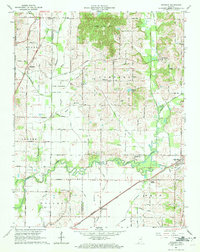
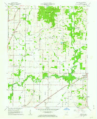
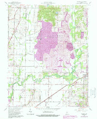
Editions of this 1961 Daylight Map
4 editions found
Other maps of this area

1901 · Haubstadt
USGS Topo · 1:62,500

1902 · Ditney
USGS Topo · 1:125,000

1902 · Boonville
USGS Topo · 1:62,500

1903 · Haubstadt
USGS Topo · 1:62,500

1903 · Patoka
USGS Topo · 1:125,000

1905 · Newburg
USGS Topo · 1:62,500

1914 · Henderson
USGS Topo · 1:48,000

1916 · Henderson
USGS Topo · 1:62,500

1951 · Yankeetown
USGS Topo · 1:24,000

1952 · Evansville
USGS Topo · 1:24,000