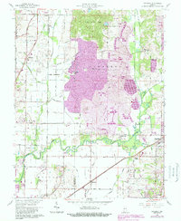
1961 Map of Daylight
USGS Topo · Published 1988About this map
Campbell Strip Mine Reclaimed dominates the central landscape of this 1961 survey, where massive earth-moving operations once transformed the terrain between Fisherville and Millersburg. The map illustrates a pivotal era of industrial land management, with extensive purple shading identifying large tracts of restored ground. To the east, a remnant of the historic Wabash and Erie Canal traces a path through the lowlands near Pigeon Creek, reflecting the nineteenth-century transportation network that predated the heavy coal industry. The rural character remains evident in the numerous family-named roads and landmarks, including Burkhardt Sch and several country cemeteries like Blue Grass Cem. Transportation is anchored by the New York Central and Southern railroads, which served as the primary arteries for the region's agricultural and mining output.
Find a feature on this map
59 named features on this map. Tap any name to fly to it.
Don’t see what you’re looking for? This feature index may not catch every label — zoom into the map to look around manually.
Map Details
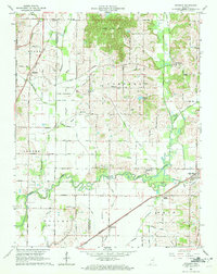
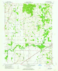
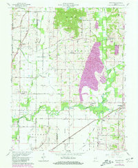
Editions of this 1961 Daylight Map
4 editions found
Other maps of this area

1901 · Haubstadt
USGS Topo · 1:62,500

1902 · Ditney
USGS Topo · 1:125,000

1902 · Boonville
USGS Topo · 1:62,500

1903 · Haubstadt
USGS Topo · 1:62,500

1903 · Patoka
USGS Topo · 1:125,000

1905 · Newburg
USGS Topo · 1:62,500

1914 · Henderson
USGS Topo · 1:48,000

1916 · Henderson
USGS Topo · 1:62,500

1951 · Yankeetown
USGS Topo · 1:24,000

1952 · Evansville
USGS Topo · 1:24,000