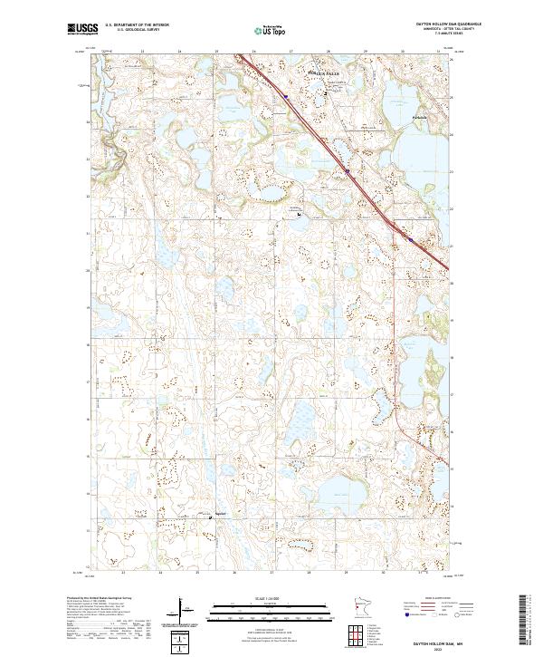
2022 Map of Dayton Hollow Dam
USGS Topo · Published 2022About this map
The Otter Tail River winds through the northwestern corner of this landscape, just south of the growing outskirts of Fergus Falls. This portion of Otter Tail County is defined by a dense concentration of glacial basins, ranging from larger bodies like Chautauqua Lake and Iverson Lake to smaller, scattered wetlands. The agricultural and rural character of the region is punctuated by long-established landmarks like Bethlehem Lutheran Cem and Aastad Cem, which serve as anchors for local genealogy and history.
Find a feature on this map
43 named features on this map. Tap any name to fly to it.
Don’t see what you’re looking for? This feature index may not catch every label — zoom into the map to look around manually.
Map Details
Editions of this 2022 Dayton Hollow Dam Map
This is the sole edition of this map. No revisions or reprints were ever made.
Other maps of this area

1910 · Wendell
USGS Topo · 1:62,500

1913 · Ashby
USGS Topo · 1:62,500

1913 · Fergus Falls
USGS Topo · 1:62,500

1913 · Wendell
USGS Topo · 1:62,500

1915 · Underwood
USGS Topo · 1:62,500

1953 · Fargo
USGS Topo · 1:250,000

1953 · Brainerd
USGS Topo · 1:250,000

1956 · Fargo
USGS Topo · 1:250,000

1957 · Brainerd
USGS Topo · 1:250,000

1958 · Brainerd
USGS Topo · 1:250,000