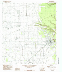
1984 Map of Dayton
USGS Topo · Published 1985About this map
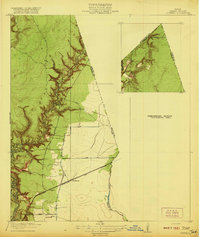
Dayton serves as the primary hub on this mid-1980s landscape, positioned near the eastern edge of the quadrangle where local roads converge. The surrounding terrain is defined by a dense network of energy infrastructure, including an extensive Oil Field and numerous pipelines that crisscross the flat coastal plain. Rural life is anchored by smaller named settlements such as Gum Grove and Stilson, while the Dayton Canal provides a critical irrigation or drainage artery in the southern sector. The drainage patterns of the area are characterized by several small waterways, including Linney Creek, French Creek, and Bowers Creek, which carve subtle paths through the landscape. This map captures the region at a time when industrial oil extraction and agricultural water management were the dominant forces shaping the growth of Liberty County communities like Martha and Linney.
Find a feature on this map
16 named features on this map. Tap any name to fly to it.
Don’t see what you’re looking for? This feature index may not catch every label — zoom into the map to look around manually.
Map Details
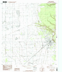
Editions of this 1984 Dayton Map
2 editions found
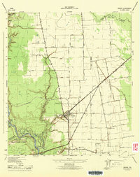
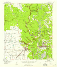
Other maps of this area
1916 · Crosby
USGS Topo · 1:24,000

1916 · Huffman
USGS Topo · 1:24,000
1919 · Crosby
USGS Topo · 1:31,680
1920 · Huffman
USGS Topo · 1:31,680
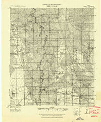
1943 · Liberty
USGS Topo · 1:125,000
1944 · Crosby
USGS Topo · 1:31,680

1950 · Houston
USGS Topo · 1:250,000

1954 · Crosby
USGS Topo · 1:24,000

1954 · Beaumont
USGS Topo · 1:250,000
1955 · Liberty
USGS Topo · 1:62,500