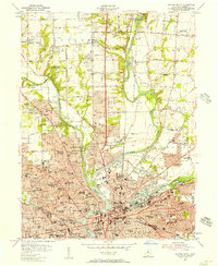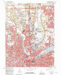
2023 Map of Dayton North
USGS Topo · Published 2023About this map
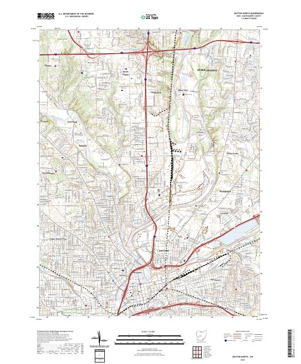
The confluence of the Mad River and the Great Miami River anchors this detailed overview of northern Dayton, where urban density meets the sprawling suburban developments of Vandalia and Huber Heights. The map highlights the city's significant flight history through the Dayton Aviation Heritage National Historical Park, preserving the landscape of early innovation. Settlement patterns follow the river valleys and the major corridors of I-75 and I-70, which intersect near Murlin Heights.
Find a feature on this map
44 named features on this map. Tap any name to fly to it.
Don’t see what you’re looking for? This feature index may not catch every label — zoom into the map to look around manually.
Map Details
Editions of this 2023 Dayton North Map
This is the sole edition of this map. No revisions or reprints were ever made.
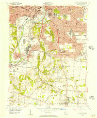
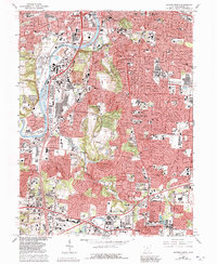
Historical Maps of Upper Dayton View Through Time
7 maps found