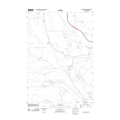
2011 Map of Dayton North
USGS Topo · Published 2011About this map
Parkman and the northern edge of Dayton anchor this landscape in Sheridan County, where the plains meet the water management systems of the Bighorn foothills. This 2011 survey reveals an intricate network of irrigation and livestock water storage, evidenced by features such as Antwerp Reservoir, Steele Reservoir, and Bear Claw Love Number 1 Reservoir. The local economy is defined by significant ranching operations, including the Bear Claw Ranch and Padlock Ranch, which are supported by a complex system of waterways like Fivemile Ditch and Mock Ditch.
Find a feature on this map
63 named features on this map. Tap any name to fly to it.
Don’t see what you’re looking for? This feature index may not catch every label — zoom into the map to look around manually.
Map Details
Editions of this 2011 Dayton North Map
This is the sole edition of this map. No revisions or reprints were ever made.
Other maps of this area

1894 · Rosebud
USGS Topo · 1:125,000

1895 · Dayton
USGS Topo · 1:125,000

1901 · Rosebud
USGS Topo · 1:125,000

1901 · Dayton
USGS Topo · 1:125,000

1954 · Hardin
USGS Topo · 1:250,000

1955 · Sheridan
USGS Topo · 1:250,000

1957 · Hardin
USGS Topo · 1:250,000

1958 · Hardin
USGS Topo · 1:250,000

1958 · Sheridan
USGS Topo · 1:250,000

1962 · Sheridan
USGS Topo · 1:250,000