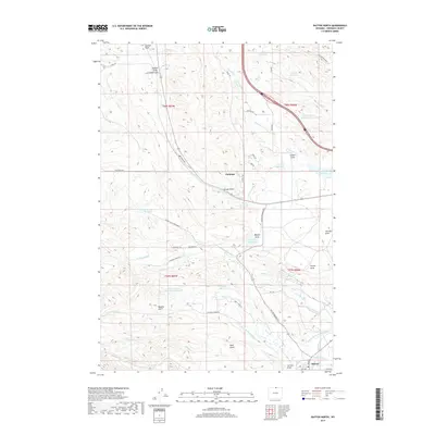
2017 Map of Dayton North
USGS Topo · Published 2017About this map
The Tongue River corridor and the high plains of Sheridan County are defined by a sophisticated network of early 21st-century irrigation infrastructure and ranchland features. The settlement of Dayton sits at the southern edge of this study, where the Tongue River Ditch Number 1 and Hanover Ditch draw from the main river to support local agriculture. Further north, the landscape is etched with complex water management systems including the Fivemile Ditch, Brand Point Ditch, and Mock Ditch, alongside numerous small water bodies like Antwerp Reservoir and Steele Reservoir.
Find a feature on this map
64 named features on this map. Tap any name to fly to it.
Don’t see what you’re looking for? This feature index may not catch every label — zoom into the map to look around manually.
Map Details
Editions of this 2017 Dayton North Map
This is the sole edition of this map. No revisions or reprints were ever made.
Other maps of this area

1894 · Rosebud
USGS Topo · 1:125,000

1895 · Dayton
USGS Topo · 1:125,000

1901 · Rosebud
USGS Topo · 1:125,000

1901 · Dayton
USGS Topo · 1:125,000

1954 · Hardin
USGS Topo · 1:250,000

1955 · Sheridan
USGS Topo · 1:250,000

1957 · Hardin
USGS Topo · 1:250,000

1958 · Hardin
USGS Topo · 1:250,000

1958 · Sheridan
USGS Topo · 1:250,000

1962 · Sheridan
USGS Topo · 1:250,000