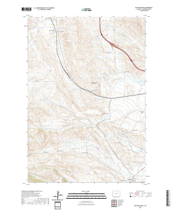
2021 Map of Dayton North
USGS Topo · Published 2021About this map
Parkman and the northern outskirts of Dayton serve as the primary human anchors in this landscape defined by an intricate network of water management. The irrigation history of the region is evident through named infrastructure such as Fivemile Ditch, Brand Point Ditch, and Mock Ditch, which redirect water from sources like Columbus Creek across the valley floor. Numerous storage projects dot the terrain, including Antwerp Reservoir, Barker Reservoir, and the uniquely named Bear Claw Love Number 1 Reservoir, supporting agricultural life along the Dayton-Slack-Montana Rd.
Find a feature on this map
65 named features on this map. Tap any name to fly to it.
Don’t see what you’re looking for? This feature index may not catch every label — zoom into the map to look around manually.
Map Details
Editions of this 2021 Dayton North Map
This is the sole edition of this map. No revisions or reprints were ever made.
Other maps of this area

1894 · Rosebud
USGS Topo · 1:125,000

1895 · Dayton
USGS Topo · 1:125,000

1901 · Rosebud
USGS Topo · 1:125,000

1901 · Dayton
USGS Topo · 1:125,000

1954 · Hardin
USGS Topo · 1:250,000

1955 · Sheridan
USGS Topo · 1:250,000

1957 · Hardin
USGS Topo · 1:250,000

1958 · Hardin
USGS Topo · 1:250,000

1958 · Sheridan
USGS Topo · 1:250,000

1962 · Sheridan
USGS Topo · 1:250,000