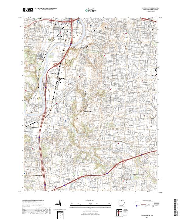
2023 Map of Dayton South
USGS Topo · Published 2023About this map
The Great Miami River corridor serves as the industrial and historical spine of this region, anchoring the urban landscapes of Dayton, Moraine, and West Carrollton. A significant portion of the northern map area is dedicated to the Dayton Aviation Heritage National Historical Park, preserving the legacy of the Wright brothers and the birth of flight. To the south, the terrain transitions into the residential and educational hubs of Kettering and Centerville, characterized by institutional campuses like Kettering College and the School of Advertising Art.
Find a feature on this map
52 named features on this map. Tap any name to fly to it.
Don’t see what you’re looking for? This feature index may not catch every label — zoom into the map to look around manually.
Map Details
Editions of this 2023 Dayton South Map
This is the sole edition of this map. No revisions or reprints were ever made.
Other maps of this area

1904 · Dayton
USGS Topo · 1:62,500

1905 · Brookville
USGS Topo · 1:62,500

1906 · Dayton
USGS Topo · 1:62,500

1908 · Miamisburg
USGS Topo · 1:62,500

1913 · Waynesville
USGS Topo · 1:62,500

1915 · Waynesville
USGS Topo · 1:62,500

1951 · Franklin
USGS Topo · 1:24,000

1953 · Cincinnati
USGS Topo · 1:250,000

1955 · Miamisburg
USGS Topo · 1:24,000
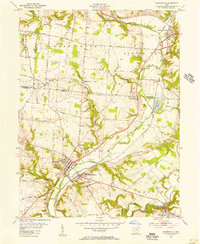
1955 · Waynesville
USGS Topo · 1:24,000