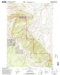
1993 Map of Dayton South
USGS Topo · Published 1997About this map
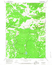
The Bighorn National Forest meets the eastern plains of Sheridan County in this detailed 1993 revision, capturing a landscape where the Tongue River carves a deep canyon through massive limestone formations. In the north, the town of Dayton serves as the gateway to the mountains, featuring the Tongue River High School, a Cem, and a Gravel Pit along the river banks. This survey highlights the complex water management system of the era, documenting the Tongue River Ditch No 1, High Line Ditch, and Side Ditch which divert mountain runoff for agriculture.
Find a feature on this map
44 named features on this map. Tap any name to fly to it.
Don’t see what you’re looking for? This feature index may not catch every label — zoom into the map to look around manually.
Map Details
Editions of this 1993 Dayton South Map
2 editions found
Other maps of this area

1895 · Dayton
USGS Topo · 1:125,000

1901 · Dayton
USGS Topo · 1:125,000

1955 · Sheridan
USGS Topo · 1:250,000

1958 · Sheridan
USGS Topo · 1:250,000

1962 · Sheridan
USGS Topo · 1:250,000

1964 · Wolf
USGS Topo · 1:24,000
1964 · Ranchester
USGS Topo · 1:24,000
1964 · Dayton North
USGS Topo · 1:24,000

1964 · Dayton South
USGS Topo · 1:24,000
1964 · Skull Ridge
USGS Topo · 1:24,000