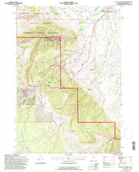
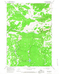
1993 Map of Dayton South
USGS Topo · Published 1997About this map
Dayton marks the northeastern corner of this Sheridan County survey, where the Tongue River exits the steep canyon country of the Bighorn National Forest. The landscape is defined by the transition from high-altitude features like Steamboat Point and Hendrick Ridge to the agricultural valley floor where the Tongue River Ditch No 1 and Side Ditch distribute water. Local history is anchored by the Tongue River High Sch, the town Cem, and established properties such as the IXL Ranch and Horseshoe Ranch. An Abandoned Telephone Line and the Roosevelt Trail trace through the southern reaches near Wolf Creek, while the Winter Range indicates the area's importance for local wildlife management and big game.
Find a feature on this map
43 named features on this map. Tap any name to fly to it.
Don’t see what you’re looking for? This feature index may not catch every label — zoom into the map to look around manually.
Map Details
Editions of this 1993 Dayton South Map
2 editions found
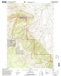
Other maps of this area

1895 · Dayton
USGS Topo · 1:125,000

1901 · Dayton
USGS Topo · 1:125,000

1955 · Sheridan
USGS Topo · 1:250,000

1958 · Sheridan
USGS Topo · 1:250,000

1962 · Sheridan
USGS Topo · 1:250,000

1964 · Wolf
USGS Topo · 1:24,000
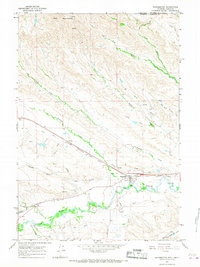
1964 · Ranchester
USGS Topo · 1:24,000
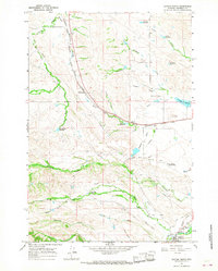
1964 · Dayton North
USGS Topo · 1:24,000

1964 · Dayton South
USGS Topo · 1:24,000
1964 · Skull Ridge
USGS Topo · 1:24,000