
1936 Map of Dayville
USGS Topo · Published 1936About this map
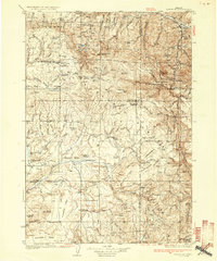
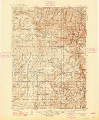
Dayville serves as the northeastern anchor for this 1930s survey, situated along the John Day River near the junction of Gray Gulch. The landscape is dominated by the sprawling timberlands of the Malheur National Forest, where high elevations like Spanish Peak and Wolf Mtn rise above a series of high-altitude tables and meadows. The area's mid-century economic character is defined by scattered livestock operations, evidenced by numerous named homesteads such as the Dexter Ranch, Noble Ranch, and Claypool Ranch.
Find a feature on this map
134 named features on this map. Tap any name to fly to it.
Don’t see what you’re looking for? This feature index may not catch every label — zoom into the map to look around manually.
Map Details
Editions of this 1936 Dayville Map
3 editions found
Other maps of this area

1926 · Mitchell
USGS Topo · 1:125,000

1932 · Dayville
USGS Topo · 1:125,000

1940 · Aldrich Mtn.
USGS Topo · 1:62,500

1943 · Aldrich Mtn.
USGS Topo · 1:62,500

1951 · Courtrock
USGS Topo · 1:62,500

1953 · Richmond
USGS Topo · 1:62,500

1953 · Picture
USGS Topo · 1:62,500

1955 · Crescent
USGS Topo · 1:250,000

1955 · Bend
USGS Topo · 1:250,000

1955 · Burns
USGS Topo · 1:250,000