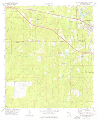
1973 Map of De Funiak Springs West
USGS Topo · Published 1976About this map
The western edge of De Funiak Springs anchors this Walton County landscape, where the residential and educational grid of the city meets the wooded drainage basins of Alaqua Creek. This 1973 survey details a transition from the urban center, featuring West De Funiak Sch and De Funiak Springs High Sch, to the industrial and agricultural periphery. The northern section is dominated by the Louisville and Nashville railroad corridor, while a network of rural settlements like Heidelberg and Ionia are connected by local roads. A legacy of small-scale industry is evident in the numerous sandpits and claypits scattered across the terrain, alongside historic water-powered sites such as Cosson Mill and Seoniers Mill. To the south and west, the map transitions into the expansive territory of Eglin Air Force Base, punctuated by landmarks like the Alaqua Lookout Tower and remote crossings over Burntout Creek and Blount Creek.
Find a feature on this map
48 named features on this map. Tap any name to fly to it.
Don’t see what you’re looking for? This feature index may not catch every label — zoom into the map to look around manually.
Map Details
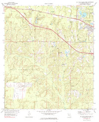
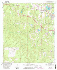
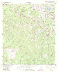
Editions of this 1973 De Funiak Springs West Map
4 editions found
Other maps of this area

1934 · Niceville
USGS Topo · 1:48,000

1935 · De Funiak Springs
USGS Topo · 1:48,000

1936 · Niceville
USGS Topo · 1:62,500

1938 · De Funiak Springs
USGS Topo · 1:62,500

1949 · Glendale
USGS Topo · 1:62,500

1949 · Laurel Hill
USGS Topo · 1:62,500

1950 · Laurel Hill
USGS Topo · 1:62,500

1951 · Glendale
USGS Topo · 1:62,500

1956 · Niceville
USGS Topo · 1:62,500

1957 · Pensacola
USGS Topo · 1:250,000