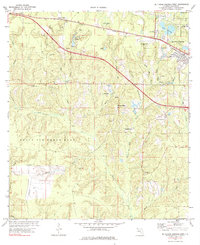
1973 Map of De Funiak Springs West
USGS Topo · Published 1984About this map
The western outskirts of De Funiak Springs and the expansive northern reach of Eglin Air Force Base define this landscape in Walton County. The Louisville and Nashville railroad tracks cut a diagonal path across the northern section, paralleling the growth of the community near Alpine Heights and the De Funiak Springs Municipal Airport. This era shows a transition between the established town and the rural creek bottoms to the south, where legacy industrial sites like Cosson Mill and Seoniers Mill sit along the many branches feeding Alaqua Creek. Local social centers are anchored by Lake Stanley Ch and the De Funiak Springs Country Club, while the southern half of the map is largely given over to military reservation land, featuring the Alaqua Lookout Tower and remote radio towers amidst the pine woods.
Find a feature on this map
51 named features on this map. Tap any name to fly to it.
Don’t see what you’re looking for? This feature index may not catch every label — zoom into the map to look around manually.
Map Details
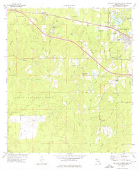
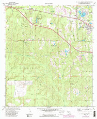
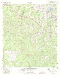
Editions of this 1973 De Funiak Springs West Map
4 editions found
Other maps of this area

1934 · Niceville
USGS Topo · 1:48,000

1935 · De Funiak Springs
USGS Topo · 1:48,000

1936 · Niceville
USGS Topo · 1:62,500

1938 · De Funiak Springs
USGS Topo · 1:62,500

1949 · Glendale
USGS Topo · 1:62,500

1949 · Laurel Hill
USGS Topo · 1:62,500

1950 · Laurel Hill
USGS Topo · 1:62,500

1951 · Glendale
USGS Topo · 1:62,500

1956 · Niceville
USGS Topo · 1:62,500

1957 · Pensacola
USGS Topo · 1:250,000