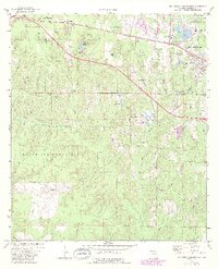
1973 Map of De Funiak Springs West
USGS Topo · Published 1988About this map
De Funiak Springs anchors the northeastern corner of this Walton County landscape, where the Louisville and Nashville railroad tracks parallel the main highway through a series of small, rural settlements including Louisville, Nashville, and Heidelberg. The western and southern portions of the map are defined by the expansive woodland of Eglin Air Force Base, a territory marked by a network of creeks such as Alaqua Creek and Bullhide Creek.
Find a feature on this map
49 named features on this map. Tap any name to fly to it.
Don’t see what you’re looking for? This feature index may not catch every label — zoom into the map to look around manually.
Map Details
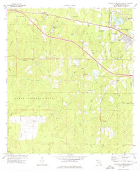
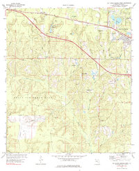
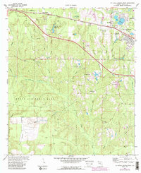
Editions of this 1973 De Funiak Springs West Map
4 editions found
Other maps of this area

1934 · Niceville
USGS Topo · 1:48,000

1935 · De Funiak Springs
USGS Topo · 1:48,000

1936 · Niceville
USGS Topo · 1:62,500

1938 · De Funiak Springs
USGS Topo · 1:62,500

1949 · Glendale
USGS Topo · 1:62,500

1949 · Laurel Hill
USGS Topo · 1:62,500

1950 · Laurel Hill
USGS Topo · 1:62,500

1951 · Glendale
USGS Topo · 1:62,500

1956 · Niceville
USGS Topo · 1:62,500

1957 · Pensacola
USGS Topo · 1:250,000